For close to two decades, Tasman District Council’s Hydrology team, led by now-retired Principal Hydrologist Martin Doyle, has been at the forefront of a campaign pressing for the radar.
Regional leaders joined the crusade, citing that coverage from the Wellington-based MetService weather radar was hampered by the region’s topography and that it was too far away to provide detailed, localised information.
The new radar will cost up to $5 million to install, with annual operating costs estimated at $800,000. Funding will come from within MetService’s existing budget.
Martin Doyle said the new technology could give emergency management two to three hours of warning of potential flooding, providing time to evacuate residents before roads get cut off.
The radar would fill the gaps between regional rain gauges - which are up to 50km apart, he said.
“In the case of last year’s flooding, we had no idea how much rain was falling in those gaps between gauges.”
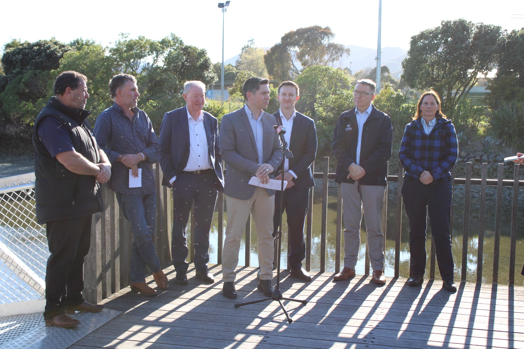
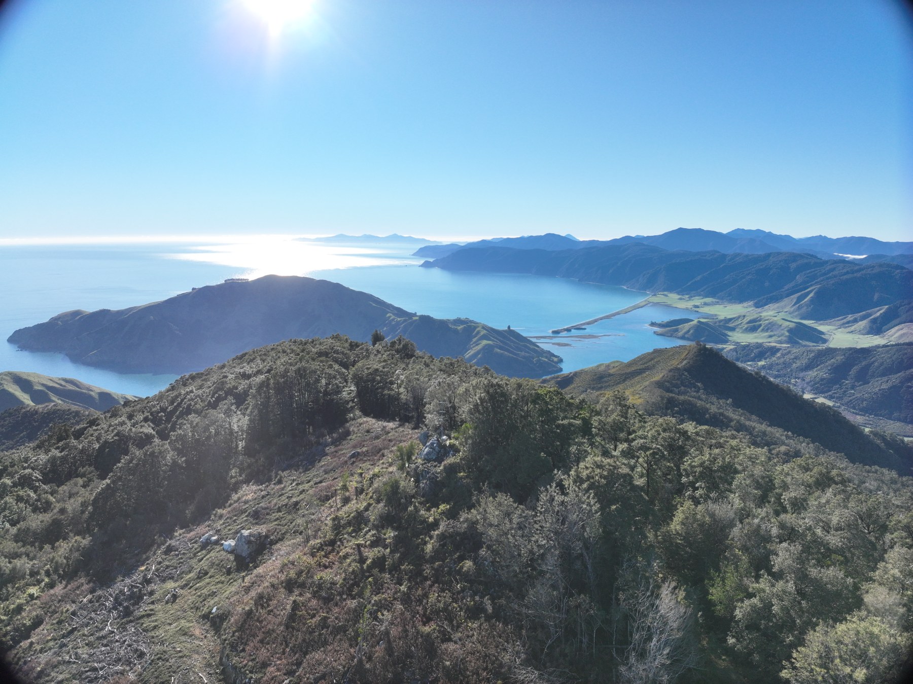
Nelson Mayor Nick Smith welcomed the Government’s decision. He said the Wellington radar was blocked by the Marlborough Sounds and Richmond Ranges and too far away to give good, localised readings.
“It can be raining intensely in one valley while just over the ridge there’s very little rain, so this equipment will give us a much clearer picture of which areas are most at risk.”
Tasman District Mayor Tim King said there was a “massive upside” to having the technology in the region, to enhance decision making at times of emergency right across the area from the Marlborough Sounds in the east to Golden Bay in the west.
Both mayors said the data collected from the radar would greatly assist the two councils in decision-making and infrastructure planning in the face of climate change.